TOP 10 MOST BEAUTIFUL BEACHES

TOP 10 MOST BEAUTIFUL BEACHES

10.TIKEHAU ISLAND, FRENCH POLYNESIA

Related image


Tikehau is located 340 kilometres (210 miles) northeast of Tahiti in the Tuamotu Islands. The nearest atoll, Rangiroa, lies only 12 kilometres (7.5 miles) to the east. Mataiva, the westernmost atoll of the same group, is located 35 kilometres (22 miles) to the west.
The atoll's oval-shaped lagoon is 27 kilometres (17 miles) long and 19 kilometres (12 miles) wide with a lagoon area of about 461 square kilometres (178 square miles). The atoll is made up of two major islands and numerous islets. The northeastern quarter of the atoll is a single, mostly uninhabited island. The whole atoll is surrounded by an almost continuous coral reef. There is a single pass deep and wide enough for navigation in and out of the lagoon: Tuheiava Pass is located on the western shore. The islands and islets are covered with coconut palms. The main village is called Tuherahera.


9.DREAMLAND BEACH, BALI


Dreamland Beach (now known as New Kuta Beach) is a beach located on the Bukit peninsula, on the island of BaliIndonesia. The beach provides basic accommodation and cafes for surfers and day-trippers. It is also renowned for its dangerous shorebreak.


8.MIAMI BEACH, FLORIDA

Related image

Miami Beach is a coastal resort city in Miami-Dade CountyFloridaUnited States. It was incorporated on March 26, 1915. The municipality is located on natural and man-made barrier islands between the Atlantic Ocean and Biscayne Bay, the latter of which separates the Beach from Miami. The neighborhood of South Beach, comprising the southernmost 2.5 square miles (6.5 km2) of Miami Beach, along with downtown Miamiand the Port of Miami, collectively form the commercial center of South Florida. As of the 2010 census, Miami Beach had a total population of 87,779. It has been one of America's pre-eminent beach resorts since the early 20th century.

7.HORSESHOE BAY, BERMUDA

Related image

Horseshoe Bay is perhaps the most famous beach in Bermuda. A very popular tourist spot, it lies on the main island's south (Atlantic Ocean) coast, in the parish of Southampton. It is one of two beaches of the same name in Bermuda, with the other located at Tucker's Island: since the 1940s part of a peninsula that housed the former US Naval Operating Base, and is now called Morgan's Point.


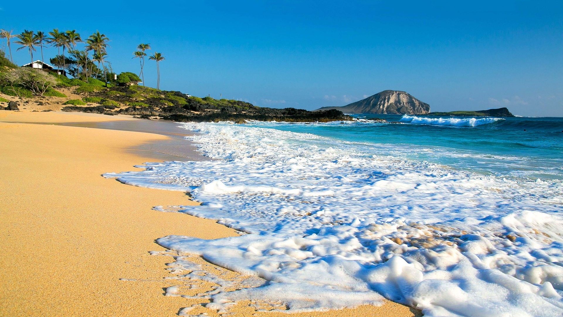
6.HAWAII, USA

Related image

Hawaiian archipelago, which comprises hundreds of islands spread over 1,500 miles (2,400 km). At the southeastern end of the archipelago, the eight main islands are—in order from northwest to southeast: NiʻihauKauaʻiOʻahuMolokaʻiLānaʻiKahoʻolaweMaui, and the Island of Hawaiʻi. The last is the largest island in the group; it is often called the "Big Island" or "Hawaiʻi Island" to avoid confusion with the state or archipelago. The archipelago is physiographically and ethnologically part of the Polynesian subregion of Oceania.
Hawaii is the 8th-smallest and the 11th-least populous, but the 13th-most densely populatedof the 50 U.S. states. It is the only state with an Asian plurality. The state's coastline is about 750 miles (1,210 km) long, the fourth longest in the U.S. after the coastlines of AlaskaFlorida, and California.


5.CINQUE TERRE, ITALY

Related image

The Cinque Terre (Italian pronunciation: [ˈtʃiŋkwe ˈtɛrre]LigurianÇinque Tære, meaning "Five Lands") is a rugged portion of coast on the Italian Riviera. It is in the Liguria region of Italy, to the west of the city of La Spezia, and comprises five villages: Monterosso al MareVernazzaCornigliaManarola, and Riomaggiore. The coastline, the five villages, and the surrounding hillsides are all part of the Cinque Terre National Park and is a UNESCO World Heritage Site.


4.SANTORINI, GREECE


Santorini (GreekΣαντορίνηpronounced [sandoˈrini]), classically Thera (Englishpronunciation /ˈθɪərə/), and officially Thira (Greek: Θήρα [ˈθira]), is an island in the southern Aegean Sea, about 200 km (120 mi) southeast of Greece's mainland. It is the largest island of a small, circular archipelago, which bears the same name and is the remnant of a volcanic caldera. It forms the southernmost member of the Cyclades group of islands, with an area of approximately 73 km2(28 sq mi) and a 2011 census population of 15,550. The municipality of Santorini includes the inhabited islands of Santorini and Therasia and the uninhabited islands of Nea KameniPalaia KameniAspronisi, and Christiana. The total land area is 90.623 km2 (34.990 sq mi). Santorini is part of the Thira regional unit.


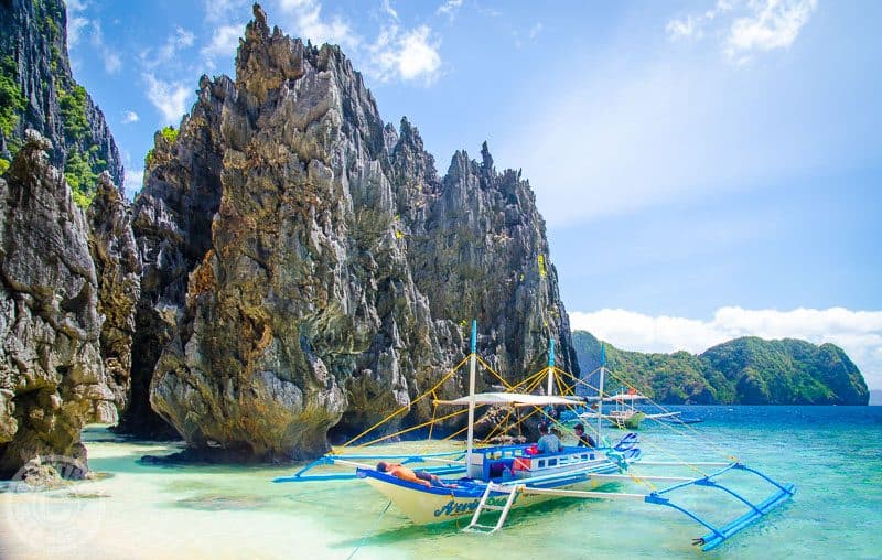
3.EL NIDO, PALAWAN, Philippines

Image result for EL NIDO, PALAWAN, Philippines

El Nido, officially the Municipality of El Nido, is a 1st class municipality in the provinceof PalawanPhilippines. According to the 2015 census, it has a population of 41,606 people.
It is about 420 kilometres (260 mi) south-west of Manila, and about 238 kilometres (148 mi) north-east of Puerto Princesa, Palawan’s capital. A managed resource protected area, it is known for its white-sand beaches, coral reefs, limestone cliffs and as the gateway to the Bacuit archipelago.


2.Sunset Beach, Oahu, Hawaii

Related image

Sunset Beach is on the North Shore of Oahu in Hawaii and known for big wave surfing during the winter season. The original Hawaiian name for this place is Paumalū. It is a two-mile (3.3 km) stretch of mostly beige sand located at 59-104 Kamehameha Highway in Pupukea, 39 miles (63 km) driving distance from Waikiki. Lifeguards are usually present.
Like many beaches on Oahu's North Shore, Sunset Beach is considered dangerous for inexperienced surfers, due to extensive coral formations near the surface that present the risk of serious injury. Trade winds will be an advantage and a disadvantage, at the same, as the offshore breeze will make paddling for a wave a difficult task. Conditions for swimming change depending on the particular location and season. Generally speaking, the water is flat as a lake in the summers and has waves in the winters. All the surfing contests take place in the winter around December and January, that being the time of the largest and best waves for surfing. Swimming conditions change from spot to spot along the beach. There is usually a place to swim somewhere, except during stormy weather.


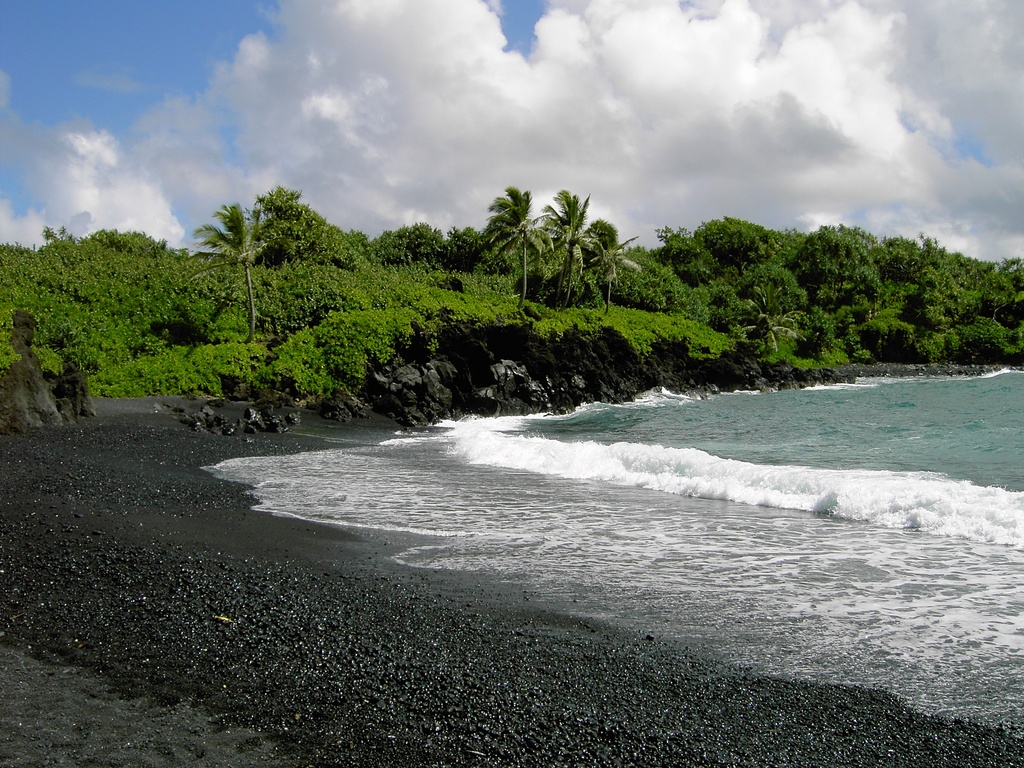
1.Honokalani Beach, Wai'anapanapa State Park, Maui, Hawaii
Related image

Waiʻanapanapa State Park is a 122-acre (0.49 km2) state park in Hana, on the island of Maui, in Hawaii. It is located at the end of Waiʻanapanapa Road off Hana Highway, 53 miles (85 km) east of Kahului, Maui. Waiʻanapanapa means “glistening fresh water” in the Hawaiian language, referring to nearby fresh water streams and sparkling pools. The camp offers camping facilities, including a small lawn where campers may pitch a tent, and a public bathroom nearby.


Comments

Popular posts from this blog

TOP 10 MOST EXPENSIVE CARS IN THE WORLD

TOP 10 Most WEIRD Places in the WORLD